When people plan a trip to Morocco’s mountains, one question comes up almost immediately: Where exactly are the Atlas Mountains, and which part should I visit?
That’s where an Atlas Mountains map becomes useful. The Atlas isn’t just one single range — it’s a system made up of several regions, each with its own landscape, climate, and travel experience.
Some areas are rugged and alpine. Others are forested and quiet. And some feel almost desert-like.
This guide explains how the ranges fit together, how to read an atlas mountains map Morocco, and what makes the High Atlas, Middle Atlas, and Anti-Atlas different — especially if you’re planning trekking or outdoor travel.
For a broader overview of routes and regions, see the detailed Atlas Mountains Morocco guide.
Atlas Mountains Map Overview
The Atlas Mountains stretch across three North African countries:
-
Morocco
-
Algeria
-
Tunisia
However, Morocco contains the most visited and accessible sections.
A simplified Atlas Mountains map Morocco shows three main regions:
-
High Atlas (central-southern Morocco)
-
Middle Atlas (north-central Morocco)
-
Anti-Atlas (southwestern Morocco)
Each range runs roughly southwest to northeast, forming a natural barrier between the Atlantic coast, inland plains, and the Sahara.
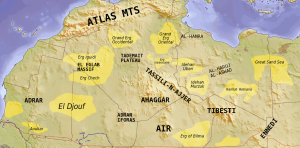
The Atlas Mountain Range in Morocco (Geographic Layout)
If you’re looking at an Atlas Mountains map, here’s how the regions are positioned:
High Atlas – South of Marrakech, stretching toward Ouarzazate
Middle Atlas – Between Fez and the High Atlas
Anti-Atlas – South of the High Atlas, closer to desert regions
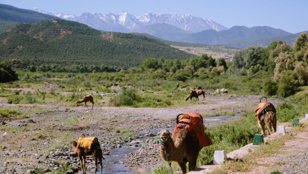
Most travelers heading for trekking — especially climbing Mount Toubkal — focus on the High Atlas near Marrakech.
7 Key Differences Between the Atlas Regions
1. High Atlas – The Trekking and Climbing Region
This is the most famous part of the Atlas system and the main focus on any High Atlas map.
Key features:
-
Highest peaks in North Africa
-
Mount Toubkal (4,167 m)
-
Alpine terrain and deep valleys
-
Berber villages and multi-day trekking routes
For detailed climbing routes, see the Complete Travel Guide to Toubkal Trek.
Best for:
-
Mountaineering
-
Multi-day trekking
-
Adventure travel
2. Middle Atlas – Forests, Lakes, and Cooler Climate
The Middle Atlas looks very different from the High Atlas.
Landscape:
-
Cedar forests
-
Rolling hills
-
Natural lakes
-
Cooler temperatures
Cities like Ifrane and Azrou sit within this region. It’s greener and less rugged than the High Atlas.
Best for:
-
Nature trips
-
Wildlife (including Barbary macaques)
-
Relaxed hiking
Not ideal for high-altitude trekking.
3. Anti-Atlas – Desert Mountains and Remote Landscapes
The Anti-Atlas sits south of the High Atlas and feels completely different.
Landscape:
-
Rocky, dry terrain
-
Dramatic geological formations
-
Sparse vegetation
-
Closer to Sahara routes
Best for:
-
Off-the-beaten-path travel
-
Photography
-
Desert-mountain scenery
Why the High Atlas Appears Most on Travel Maps
If you search for an atlas mountains map Morocco, most tourism references focus on the High Atlas. That’s because:
-
It’s only 1.5–2 hours from Marrakech
-
It contains the highest peaks
-
Trekking infrastructure is well established
-
Mountain refuges and guesthouses are available
Most trekking routes begin in Imlil Village, the main gateway to the High Atlas.
Major Trekking Areas on a High Atlas Map
A detailed High Atlas map usually highlights:
Imlil
The main trekking hub and starting point for Mount Toubkal climbs.
Toubkal National Park
Protected area covering major trekking routes.
Azzaden Valley
Popular multi-day trekking region.
Ouirgane Valley
Lower-altitude hiking area.
For a broader overview of routes across the country, explore Trekking in Morocco.
Atlas Mountains Map and Travel Planning
Understanding the Atlas Mountains map helps you choose the right experience.
Choose High Atlas if you want:
-
Mountain trekking
-
Mount Toubkal climb
-
Berber village stays
Choose Middle Atlas if you want:
-
Cooler weather
-
Forest scenery
-
Easy nature walks
Choose Anti-Atlas if you want:
-
Remote landscapes
-
Desert proximity
-
Quiet exploration
For most adventure travelers, the High Atlas offers the best balance of accessibility and dramatic scenery.
Best Time to Visit Each Atlas Region
High Atlas
Spring and autumn are ideal. Winter brings snow at higher elevations.
For seasonal planning, see Best Time to Travel in Morocco.
Middle Atlas
Pleasant year-round and cooler than other regions.
Anti-Atlas
Best in winter and early spring to avoid extreme heat.
FAQ
Where are the Atlas Mountains located in Morocco?
They run across central Morocco, forming the High Atlas, Middle Atlas, and Anti-Atlas ranges.
Which Atlas region is best for trekking?
The High Atlas, especially around Mount Toubkal.
Is the Middle Atlas good for hiking?
Yes, mainly for easy nature walks rather than high-altitude trekking.
How far is the High Atlas from Marrakech?
About 1.5–2 hours by road.
Conclusion
At first glance, the Atlas might seem like one continuous mountain chain. But once you understand the layout on an Atlas Mountains map Morocco, the differences become clear. Each region has its own character, climate, and travel experience.
If your goal is serious trekking, high peaks, and traditional mountain villages, the High Atlas is the place to focus. It’s the most accessible, the most dramatic, and the most rewarding for adventure travel.